Pick your next attraction
Tap a button below and lock in the attraction you want.
Press Map to get there from where you are
A live route opens from where you stand to the attraction. You need to be in the city you are touring.
Use the Videos to tour the attraction you selected
Click the videos and follow the best path through the attraction itself.
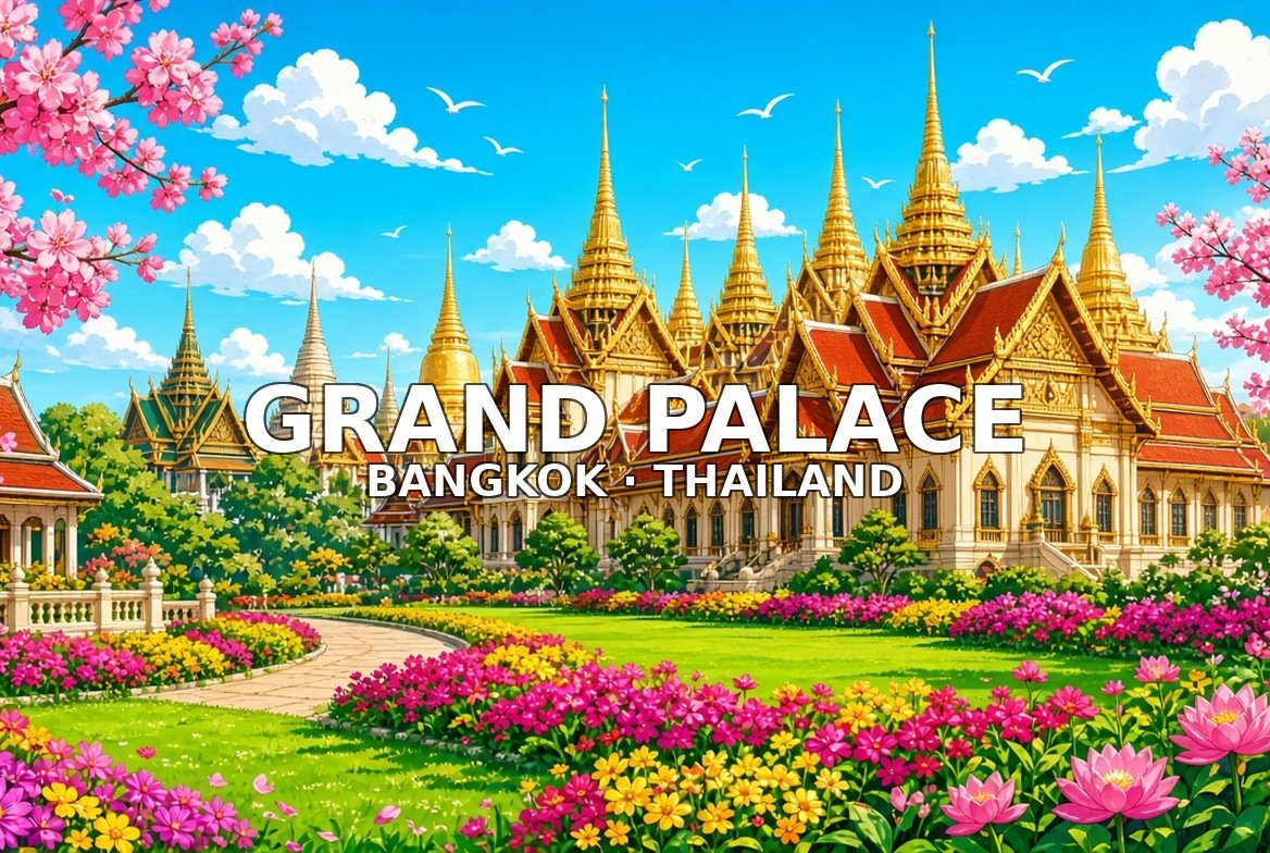
1. Grand Palace & Wat Phra Kaew
Rattanakosin · start here · 90–120 minutes
The Grand Palace and Wat Phra Kaew complex holds the Temple of the Emerald Buddha behind formal outer walls. Dress code is strict—covered shoulders and knees. Enter from the Tha Chang / Sanam Luang side.
Walk this order. Outer walls and ticket approach → Temple of the Emerald Buddha courtyard → Cloister Ramakien murals → Phra Siratana Chedi / golden spires → Grand Palace hall facades → Exit toward Wat Pho
2. Wat Pho
From stop 1 · 5–10 minutes · 60–90 minutes
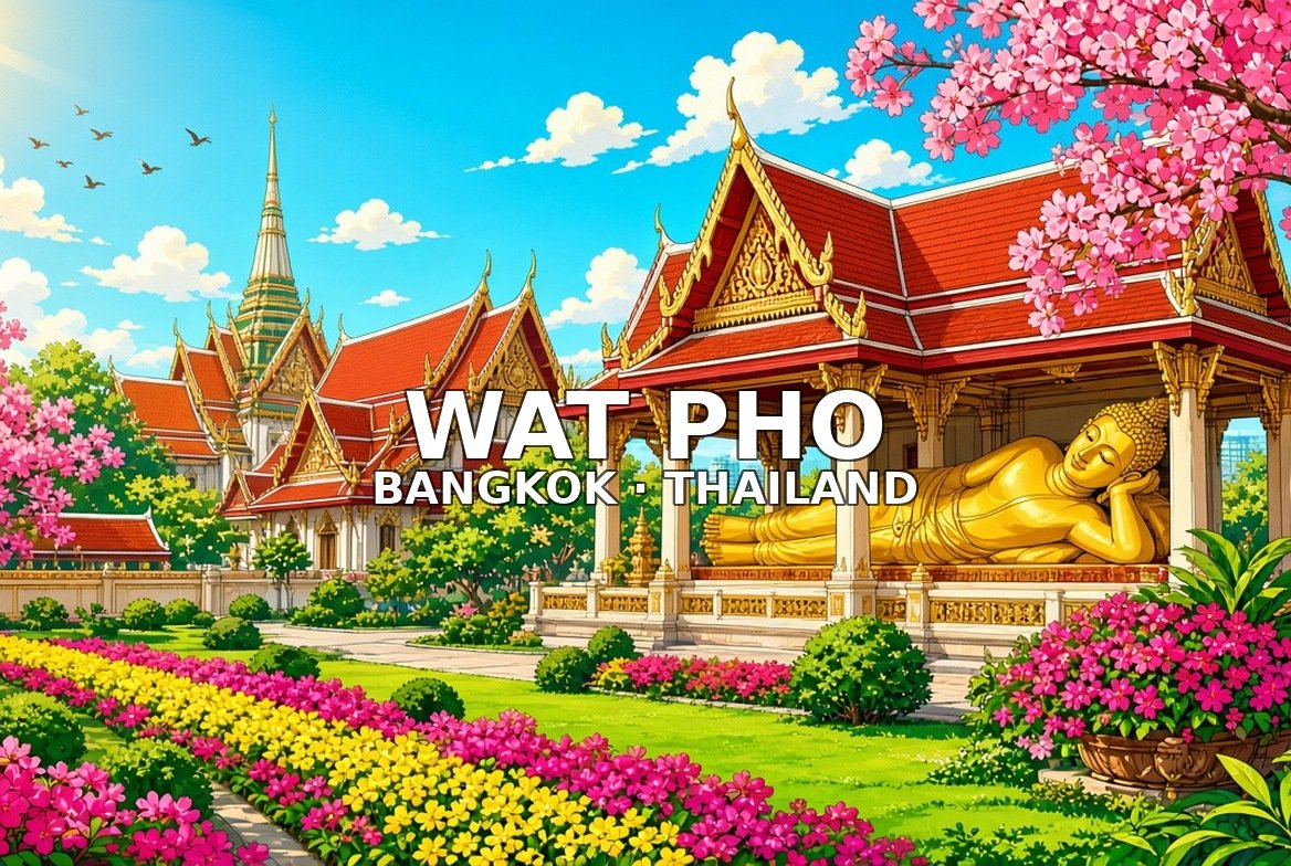
Wat Pho is famous for the Reclining Buddha and clusters of chedis next to the Grand Palace. Mother-of-pearl feet detail is a highlight. Tha Tien pier sits at the river exit.
Walk this order. Outer gate and chedi clusters → Reclining Buddha hall exterior → Reclining Buddha feet / mother-of-pearl → Four great chedis court → Massage school / cloister edge → Exit to Tha Tien pier
3. Wat Arun
Thonburi ferry · 60–90 minutes
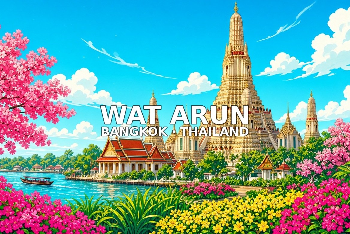
Wat Arun rises on the Thonburi bank with a porcelain-covered central prang. Cross by ferry from Tha Tien; climb mid terraces for river views back to Rattanakosin. Modest dress required.
Walk this order. Ferry landing Thonburi bank → Base of the central prang → Porcelain flower detail close → Mid terrace climb view → River panorama back to Rattanakosin → Return ferry / exit
4. Chao Phraya river pier strip
River piers · 30–45 minutes
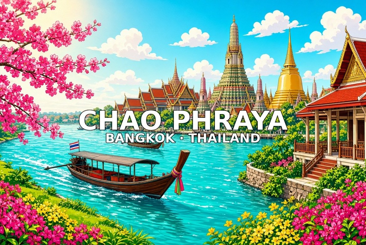
The Chao Phraya pier strip around Tha Tien shows long-tail traffic and temple silhouettes from the water. River boats link north and south. Watch footing on busy landings.
Walk this order. Tha Tien bustle → Long-tail and river traffic → Temple silhouettes from the water → Pier cafés edge → Continue north/east toward Giant Swing axis
5. Giant Swing & Wat Suthat
From river · 15–20 minutes · 30–45 minutes
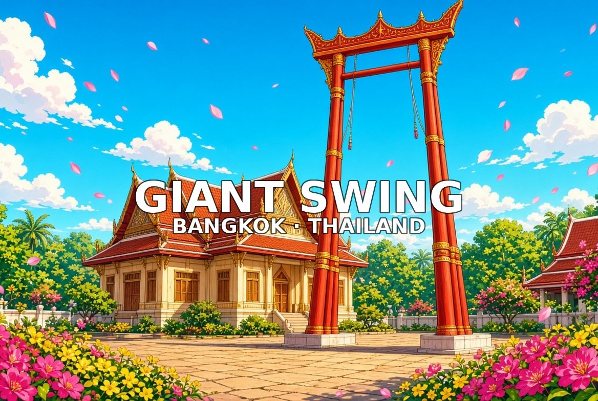
The Giant Swing (Sao Chingcha) faces Wat Suthat on a ceremonial square northeast of the Grand Palace. Shophouse streets surround the axis. A short hop toward Ratchadamnoen.
Walk this order. Sao Chingcha Giant Swing → Wat Suthat facade → Inner viharn approach → Surrounding shophouse streets → Exit toward Ratchadamnoen
6. Democracy Monument / Ratchadamnoen
Ratchadamnoen · 20–30 minutes
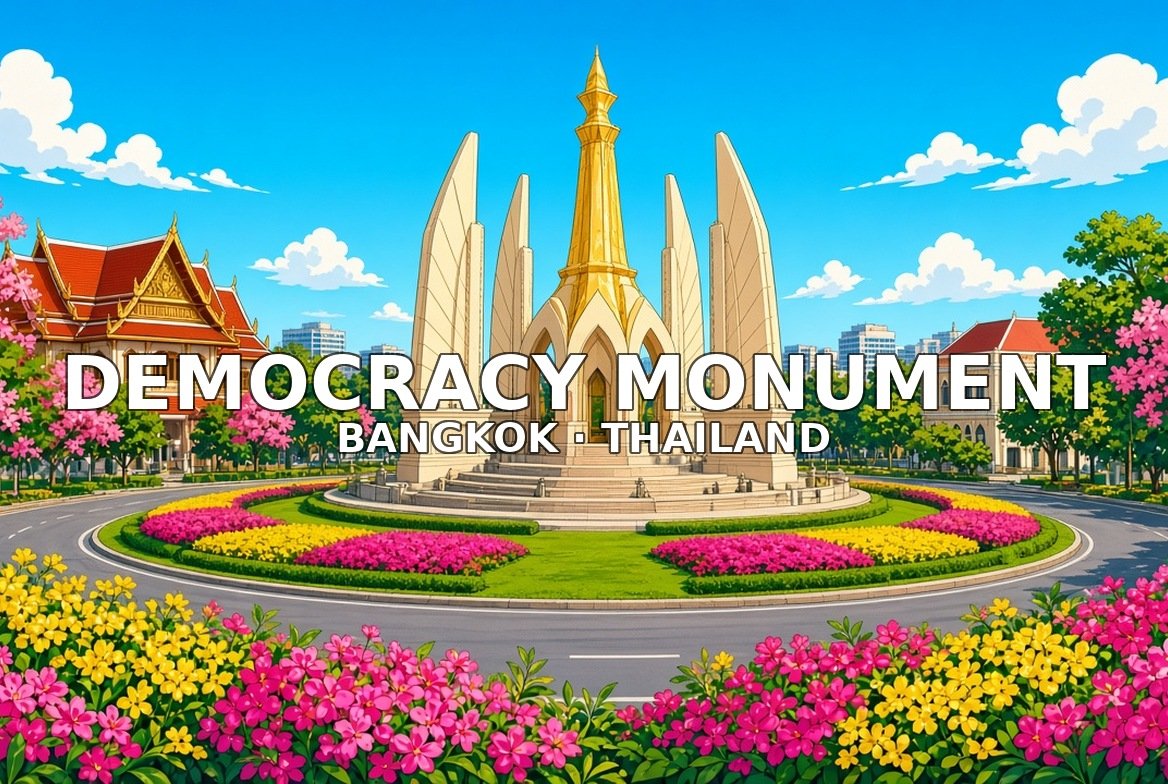
Democracy Monument stands on Ratchadamnoen Avenue with wing-like structure and a wide traffic circle. Avenue trees and banners frame approaches. Continue east toward the Golden Mount.
Walk this order. Approach along the avenue → Monument wings close → Traffic circle panorama → Avenue trees and banners → Continue toward Golden Mount
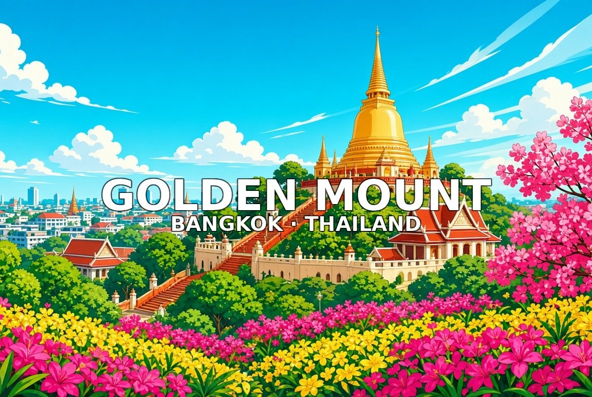
7. Golden Mount (Wat Saket)
Wat Saket · 45–60 minutes
Golden Mount (Wat Saket) is an artificial hill with a spiral stair of bells and a golden chedi summit over old Bangkok. Moderate climb; city panoramas at the top. Link toward Chinatown afterward.
Walk this order. Base of the artificial hill → Spiral stair with bells → Mid landing city view → Golden chedi summit → Panorama over old Bangkok → Descent / exit toward Chinatown
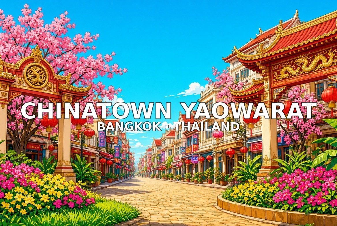
8. Chinatown Yaowarat
Yaowarat · 60–90 minutes
Chinatown along Yaowarat runs from Odeon Circle through neon strips, gold shops, and food sois. Wat Traimit’s exterior sits near the gate. Night is the classic pulse.
Walk this order. Odeon Circle gate → Yaowarat Road neon strip → Gold shop facades → Food soi alleys → Temple edge (Wat Traimit exterior if on route) → Night market pulse / exit
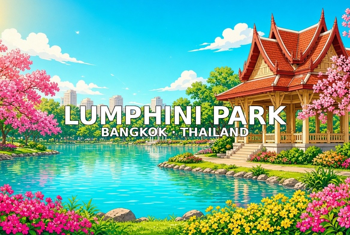
9. Lumphini Park
Central park · 45–60 minutes
Lumphini Park is a central green lung with a lake, paddle boats, and monitor lizards on the lawns. Main gates face Silom and Rama IV. A calm pause before the river malls.
Walk this order. Main gate / pavilion → Lake and paddle boats → Monitor lizard lawn edge → Tree canopy paths → Exit toward Sathorn / river
10. Iconsiam / river mall edge
Chao Phraya mall · 60–90 minutes
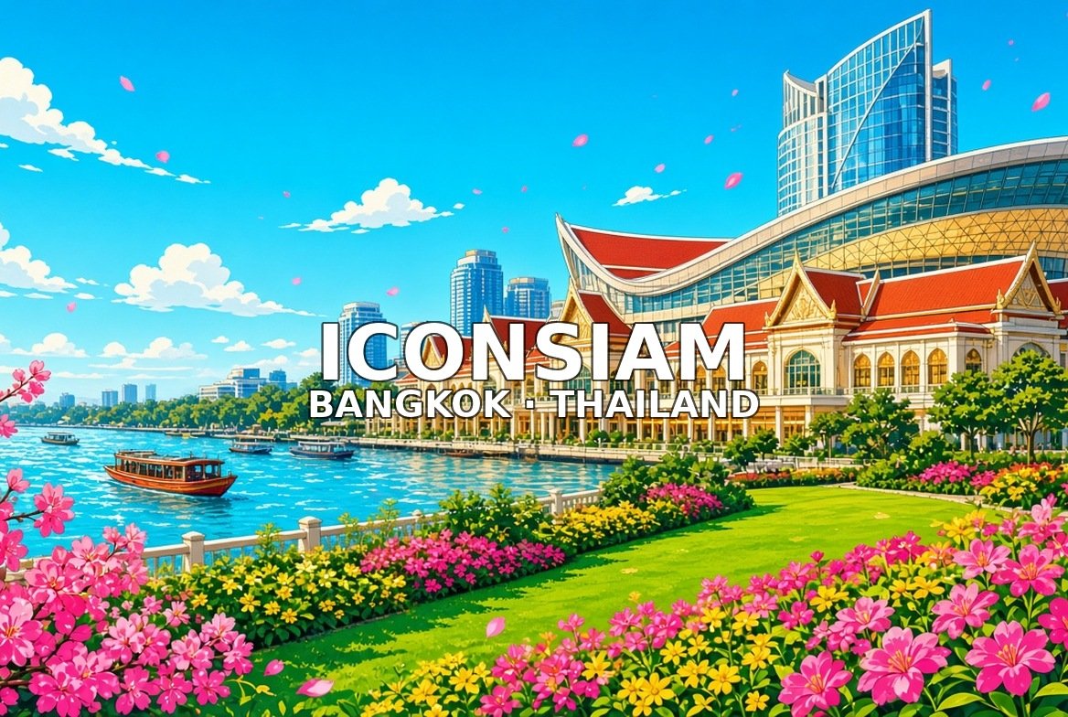
Iconsiam is a riverside mall with a sculptural atrium, retail galleries, and a terrace on the Chao Phraya. Pier access links to other river stops. Evening lights are popular.
Walk this order. River approach / pier → Atrium and sculptural interior → Retail galleries → Riverside terrace → Exit plaza looking to the Chao Phraya