

How to tour Antigua Guatemala

Antigua Guatemala sits in a valley under three volcanoes. It was the colonial capital until the 1773 earthquakes. The grid is small. Plaza Mayor is the centre.
Tanque de la Unión and the Santa Catalina Arch are on the north street. La Merced is the yellow church just west. The cathedral ruins and the captains’ palace face the square. San Francisco and Casa Santo Domingo are on the east side. Cerro de la Cruz is the hill view.
On this walk you start at the laundry tanks, go under the arch, take La Merced, then the square and the palace. Go east to San Francisco and Santo Domingo, up to the cross, back down 5a Avenida, and finish on a volcano view.
1. Tanque de la Unión
North of the arch · start here · 15–25 minutes
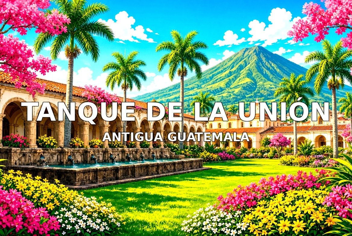
Tanque de la Unión is the old public laundry basin at the north end of 5a Avenida. Stone tanks and the volcano frame are the stop. Free. Walk this order. Street approach, the tanks, the volcano view, then south to the Santa Catalina Arch.
 Video coming soonVideo coming soonVideo coming soonVideo coming soonVideo coming soon
2. Santa Catalina Arch
From stop 1 · 4 minutes south · 10–15 minutes
The Santa Catalina Arch was built in the 17th century so nuns could cross the street without being seen. The yellow arch frames Agua volcano. The clock was added in the 19th century. Free. Walk this order. North face, under the arch, the volcano frame, then a short walk to La Merced.
 Video coming soonVideo coming soonVideo coming soonVideo coming soonVideo coming soon
3. La Merced Church
From stop 2 · 6 minutes · 20–30 minutes
La Merced is the yellow baroque church, rebuilt after the 1773 earthquakes. The facade is the dense stucco work. The courtyard fountain is beside it. Free to enter. Dress modestly. Walk this order. Facade, courtyard fountain, church door, then south to the main square.
 Video coming soonVideo coming soonVideo coming soonVideo coming soonVideo coming soon
4. Plaza Mayor and Cathedral Ruins
From stop 3 · 8 minutes · 25–40 minutes
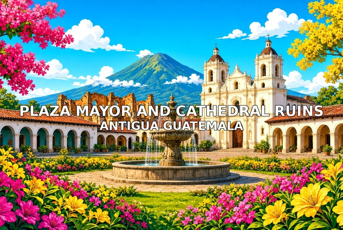
Plaza Mayor is the central park of the old capital. The cathedral facade faces it. The ruins behind the facade are the old nave, opened after the 1773 quake. The square is free. The ruins are ticketed. Walk this order. Square, fountain, cathedral front, ruin nave if open, then the palace on the south side.
 Video coming soonVideo coming soonVideo coming soonVideo coming soonVideo coming soon
5. Palacio de los Capitanes
From stop 4 · across the square · 20–30 minutes
The Palace of the Captains General is the long arcade on the south side of the square, once the seat of the colonial government. The arches are the walk. Free outside. Walk this order. Arcade, courtyard if open, square view, then east to San Francisco.
 Video coming soonVideo coming soonVideo coming soonVideo coming soonVideo coming soon
6. San Francisco Church
From stop 5 · 10 minutes east · 25–40 minutes
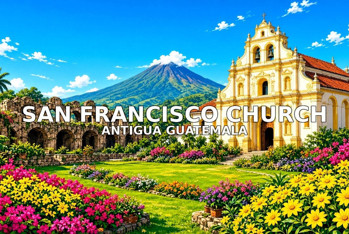
San Francisco is the large church and convent on the east side of town. The facade survived the quakes. The tomb of Hermano Pedro is inside. Free to enter. Dress modestly. Walk this order. Facade, the ruined convent side, the church, then north to Casa Santo Domingo.
 Video coming soonVideo coming soonVideo coming soonVideo coming soonVideo coming soon
7. Casa Santo Domingo
From stop 6 · 8 minutes · 30–45 minutes
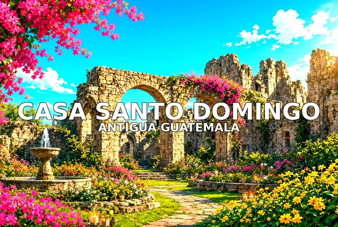
Casa Santo Domingo is the old Dominican convent, now a hotel, with ruined chapels and museum rooms in the cloisters. The street facade and the candlelit ruins are the public walk. Some rooms are ticketed. Walk this order. Street front, entrance court, a ruined chapel, then a ride or walk up to Cerro de la Cruz.
 Video coming soonVideo coming soonVideo coming soonVideo coming soonVideo coming soon
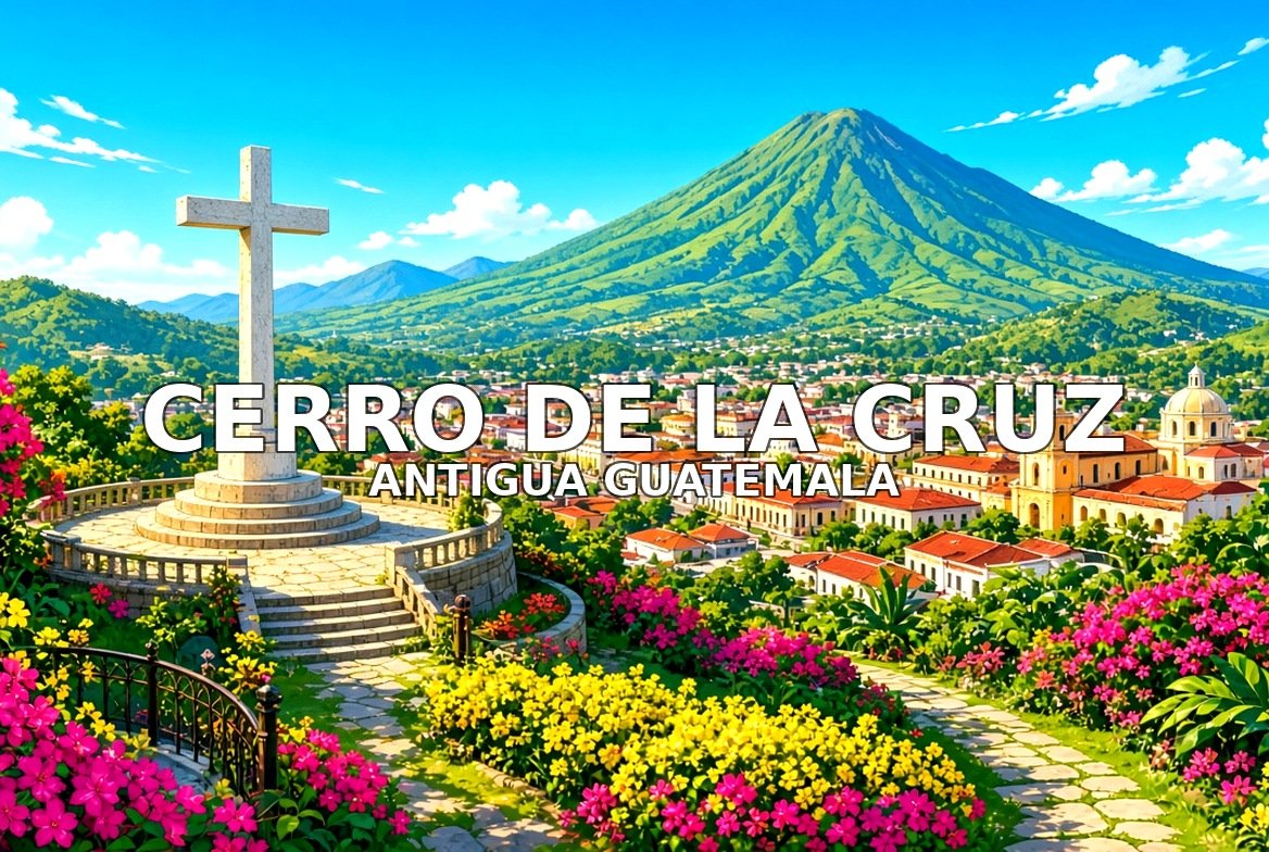
8. Cerro de la Cruz
From stop 7 · about 20 minutes uphill · 30–45 minutes
Cerro de la Cruz is the hill north of town with the cross and the view over the tiled roofs to Agua volcano. The path is steep. Go in daylight. Free. Walk this order. Path, the cross, the town view, then back down to 5a Avenida.
 Video coming soonVideo coming soonVideo coming soonVideo coming soonVideo coming soon
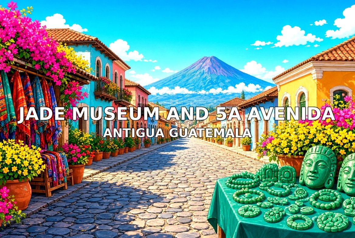
9. Jade Museum and 5a Avenida
From stop 8 · back in town · 25–40 minutes
5a Avenida is the main walking street. The Jade Museum sits on it, with Maya jade in a colonial house. The street is free. The museum is ticketed. Walk this order. Avenue, museum front, a side courtyard, then out toward a volcano viewpoint.
 Video coming soonVideo coming soonVideo coming soonVideo coming soonVideo coming soon
10. Volcano Viewpoint
From stop 9 · edge of town · 20–30 minutes
The south and east edges of Antigua look straight at Agua, and on a clear day at Fuego and Acatenango. This stop is the open view, not a ticketed site. Walk this order. Approach, the volcano line, the roof tiles in front, then back to the square.
 Video coming soonVideo coming soonVideo coming soonVideo coming soonVideo coming soon