How to tour Vancouver

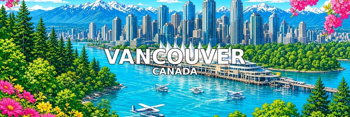
Vancouver lies between the mountains and the sea on Canada’s Pacific coast. It is a young city of glass towers, beaches, forest and First Nations heritage, often rated one of the most liveable places in the world.
This tour starts at Canada Place, walks through Gastown to the Harbour Centre Lookout and along Robson Street, follows the Stanley Park Seawall to the totem poles at Brockton Point and English Bay, then visits Granville Island and Queen Elizabeth Park, and ends at the Capilano Suspension Bridge. Each stop has five short films to guide you through it.
1. Canada Place
Waterfront · start here
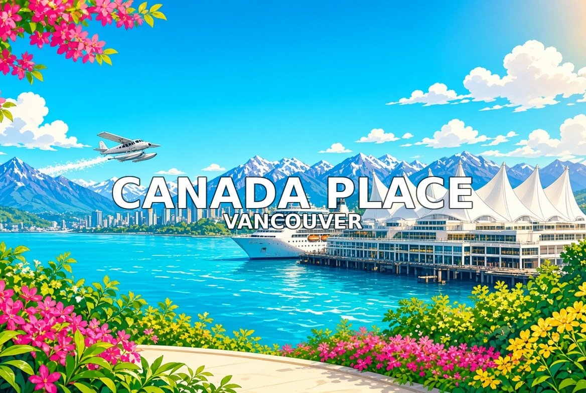
Canada Place, with its white sail-like roofs, is Vancouver’s cruise ship terminal and convention centre, with views across Burrard Inlet to the North Shore mountains.
Walk this order. The Sails → The Promenade → Cruise Ships and the Harbour → Convention Centre and Cauldron → Christmas at Canada Place and Exit.


2. Gastown Steam Clock
Gastown · the old town
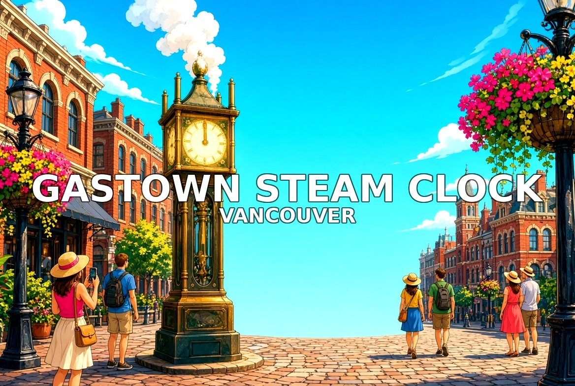
Gastown is Vancouver’s oldest neighbourhood, with cobbled streets and brick buildings. Its famous steam clock whistles the quarter hours.
Walk this order. The Steam Clock → Water Street → Gassy Jack → Cafes and Shops → Exit Toward Harbour Centre.


3. Harbour Centre Lookout
Downtown · 360° view
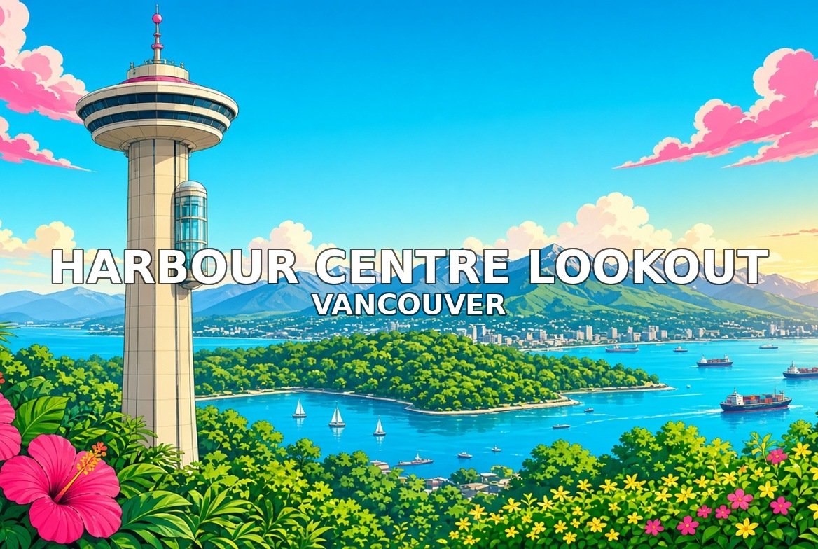
The Harbour Centre Lookout sits 168 metres up, reached by a glass lift, with a 360-degree view over the city, mountains and harbour.
Walk this order. The Tower → The Glass Elevators → The View North → The View Over Downtown → Exit Toward Robson Street.


4. Robson Street
West End · shops and cafés
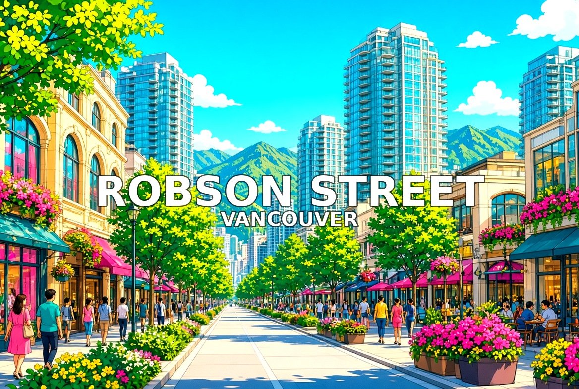
Robson Street is Vancouver’s busiest shopping street, running from downtown into the West End with shops, cafés and restaurants.
Walk this order. The Shopping Street → Thurlow Corner → Shops and Bookstores → Trolleybuses and Street Life → Exit Toward Stanley Park.


5. Stanley Park Seawall
Stanley Park · the seaside path
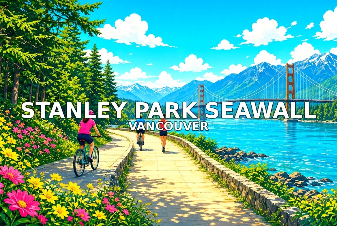
The Stanley Park Seawall is a waterside path around Stanley Park, one of the largest city parks in North America, loved by walkers and cyclists.
Walk this order. The Seawall → Stanley Park → Siwash Rock and the Bridge → Along False Creek → Exit Toward Brockton Point.


6. Totem Poles at Brockton Point
Stanley Park · First Nations art
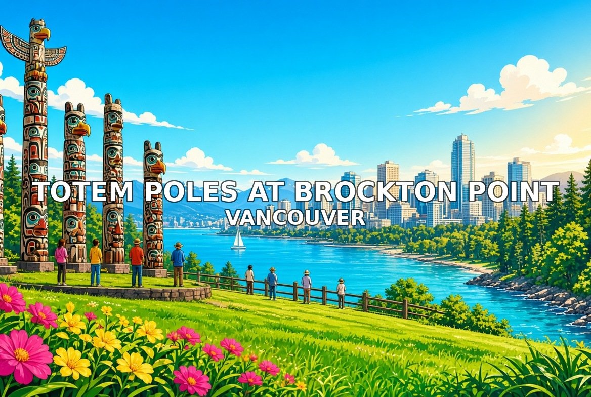
At Brockton Point in Stanley Park stands a collection of carved totem poles, the most visited attraction in British Columbia, honouring First Nations art.
Walk this order. The Totem Poles → Reading the Carvings → Brockton Point Lighthouse → History of the Point → Exit Toward English Bay.


7. English Bay
West End · sunset beach
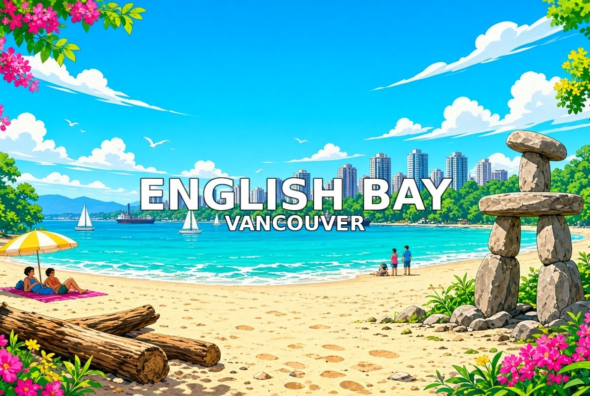
English Bay is the West End’s sandy beach, famous for its sunsets, the Inukshuk sculpture and summer fireworks.
Walk this order. English Bay Beach → A maze ing Laughter → Ships and Swimmers → Sunsets → Exit Toward Granville Island.


8. Granville Island
False Creek · market island
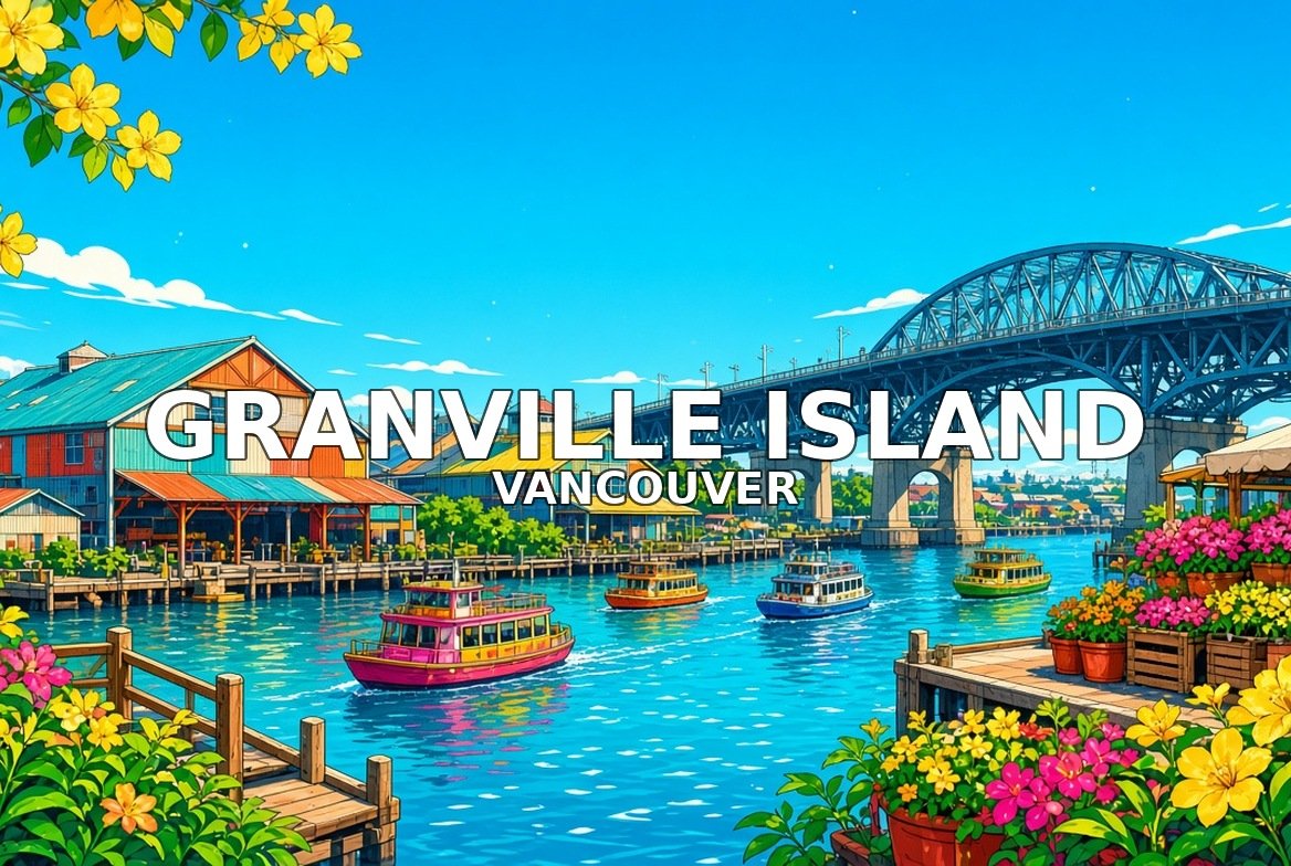
Granville Island, under the Granville Street Bridge, is home to a busy public market, artists’ studios, theatres and little ferries across False Creek.
Walk this order. Arriving on the Island → The Public Market → Artists and Makers → The Giants → Exit Toward Queen Elizabeth Park.


9. Queen Elizabeth Park
Little Mountain · gardens
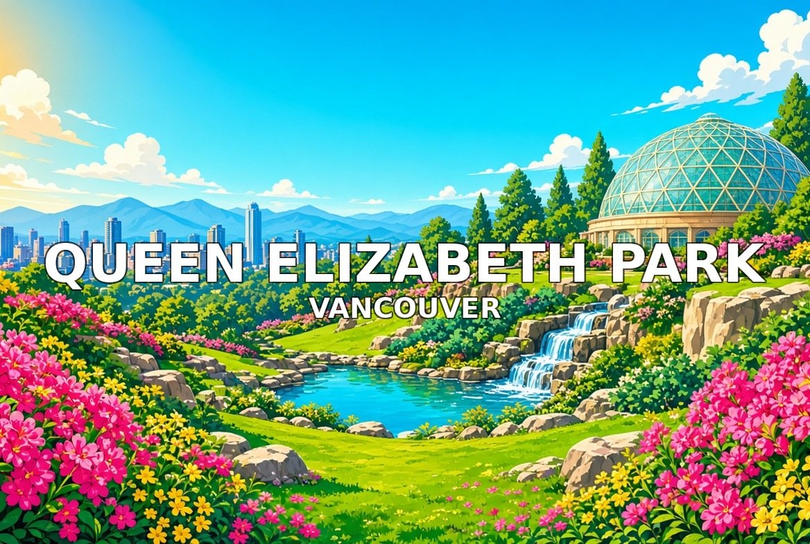
Queen Elizabeth Park sits on Little Mountain, the highest point in the city, with quarry gardens, the Bloedel Conservatory and city views.
Walk this order. Little Mountain → The Quarry Garden → Cherry Blossoms → Bloedel Conservatory → Exit Toward the Capilano Suspension Bridge.


10. Capilano Suspension Bridge
North Shore · rainforest canyon
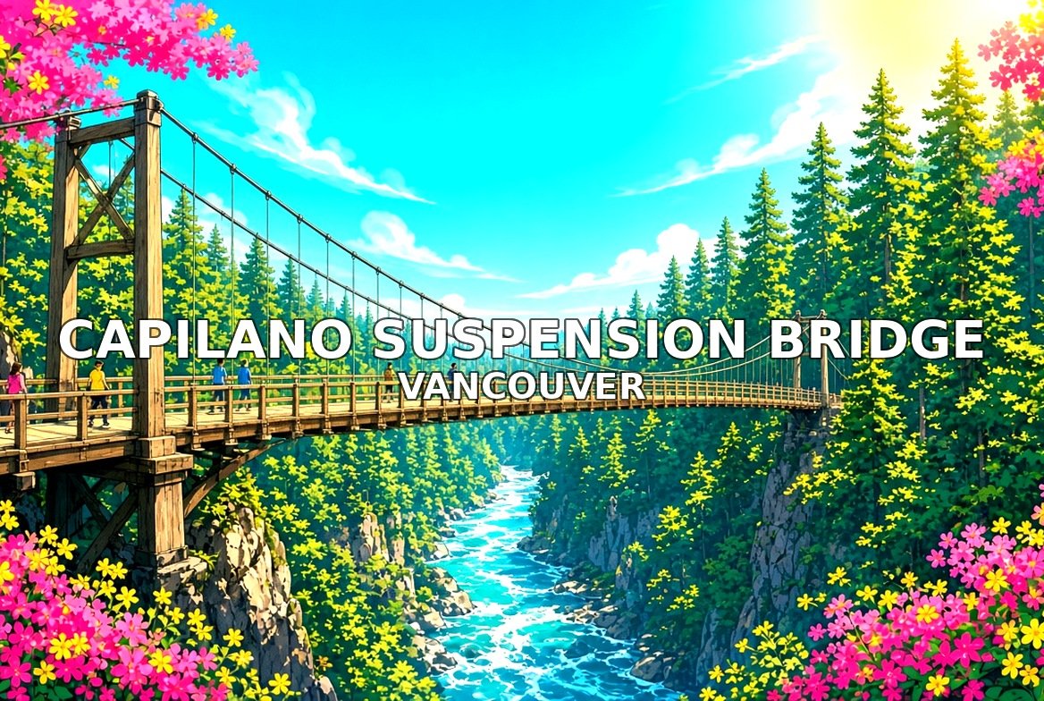
The Capilano Suspension Bridge hangs about 70 metres above the Capilano River on the North Shore, with treetop walkways and a cliffside walk.
Walk this order. The Bridge → Treetops Adventure → Cliffwalk → The Rainforest → Canyon Lights and End of the Tour.